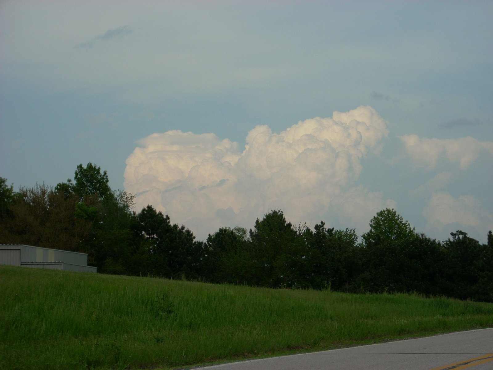
Yeah, it was a bust, but very scenic. This is the first chase I have been on since, what, 2004? Wow, can't believe it's been that long since I saw that tornado in Waverly. I was listening to this AM station in Shenendoah (950 or something) and people kept calling in from Emerson saying that they saw the tornado, I say they were all b.s.ers. I never saw the damn thing. (Go figure, me, not see a tornado, no!) It wasn't until I got home and saw on Channel 6 WOWT people who had NICE video of the touchdown. I saw, what I believe was a meso, definitely not a tornado. Possibly funnels, but can't be too sure. This was the best shot of the, what I consider weak, wall cloud. But this storm started in Cass Co., NE and moved into Mills Co., IA in a 3 hour period. It was strollin' along at a whopping 10 mph. You can imagine my surprise when I arrived in Glenwood, a 45 minute drive during rush hour traffic, and the storm was STILL THERE. No tornado, but it was still a very photogenic storm!!